Janes provides orders of battle for all of the world’s militaries
Using Janes interconnected data you can see the entire echelon of the equipment used and their location to provide a complete picture of a unit's expected state.

A full picture of who is operating what, where, under which command, and how units actually line up.
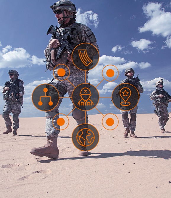
Janes delivers a connected, robust view of the world’s military forces – who they are, where they operate, and what they can do. Structured datasets, deep force profiles, and linked inventories give you clarity to assess capability, model risk, and support operational planning.

Structured, linked data that reveals how military forces are organized.
Validated data including base locations, operated equipment, and organizational hierarchy.
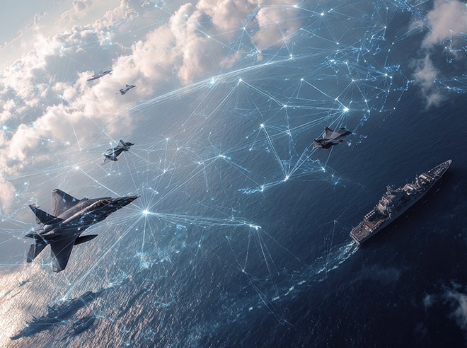
Platform-by-platform visibility for land, air, sea, and support systems, both manned and unmanned, including manufacturer, operator, and quantities for 190+ countries.
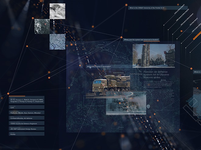
Bases, airfields, air defense and nuclear facilities, mapped and connected so you see the network behind the force.
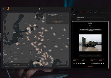
Embed Janes in mission systems on your networks to fuse our validated baseline with multiple sources, automate recurring workflows, and empower users.

Start with an asset, unit, installation, or event. Follow the connections, build the narrative, export what you need quickly for your assessments and reporting.
Plug Janes into Geographic Information Systems (GIS), battle management, imagery platforms, analytics tools, and workflow automation – plus expedite procurement, rollout, and adoption through established pathways and contract vehicles.
Real missions. Real clarity.
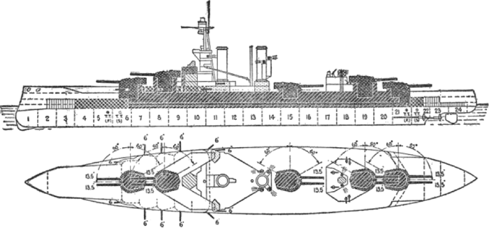
Using Janes interconnected data you can see the entire echelon of the equipment used and their location to provide a complete picture of a unit's expected state.
Message received. Thank you for getting in touch, our team will reach out to you soon.
In the meantime... check out our OSINT insights